
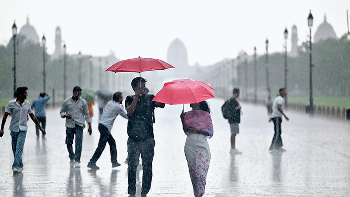
People walk on Kartavya Path as it rains in New Delhi. File.
| Photo Credit: Shashi Shekhar Kashyap
India recorded around 16% more rainfall than normal in August, with rainfall over Northwest India recorded at 253.9 mm, the second highest in August since 2001, the India Meteorological Department (IMD) said on Saturday (August 31, 2024).
Addressing a virtual press conference, IMD Director General Mrutyunjay Mohapatra said the country recorded 287.1 mm of rainfall in August, compared to the normal 248.1 mm.
Also read: India’s extreme rain was restricted to a ‘corridor’ during 1901-2019 | Explained
Overall, India has received 749 mm of precipitation against the normal 701 mm since the start of the monsoon season on June 1.
Several districts in the foothills of the Himalayas and the northeast experienced below-normal rainfall as most of the low-pressure systems moved south of their usual position, and the monsoon trough also remained south of its typical position, the IMD chief said.
Many States in the northeast, along with Kerala and the Vidarbha region of Maharashtra, experienced deficient rainfall, he added.
The IMD chief said that six low-pressure systems formed in August, two of which intensified into monsoon depression or deep depression. There were 17 low-pressure system days this August, compared to the normal of 16.3 days.
From August 10 to August 22, the monsoon trough remained along its normal position, resulting in good rainfall over northern and adjacent central India, parts of eastern India, and the extreme southern peninsula, especially Tamil Nadu. From August 23 to August 31, the trough shifted south of its normal position, causing very heavy rainfall over central and western parts of India.
No-break monsoon conditions were observed in August this year, despite an increasing trend of break days during the month, Mohapatra said.
He said the Madden-Julian Oscillation (MJO) was very active during the second half of the month, leading to good rainfall over the Indian region.
MJO is a large-scale atmospheric disturbance originating in tropical Africa and travelling eastward, typically lasting 30 to 60 days.
Above normal rainfall expected in September: IMD
After a wetter-than-normal August, India is likely to experience above normal rainfall in September, with heavy to very heavy precipitation expected in northwest India and the surrounding areas.
Mr. Mohapatra said that the country is expected to receive above normal rainfall in September, at 109% of the long-period average of 167.9 mm.
Heavy to very heavy rainfall is anticipated in the northwest region, including Uttarakhand, parts of Himachal Pradesh, Jammu and Kashmir, Rajasthan, and the adjoining areas of Madhya Pradesh.
“Above normal rainfall is likely over most parts of India, except for some areas in extreme northwest India, many parts of the southern peninsula, northern Bihar, and northeastern Uttar Pradesh, as well as most of northeast India, where below normal rainfall is expected,” the IMD chief said.
The monsoon trough is expected to remain in its normal position, with the possibility of several low-pressure systems developing in the Bay of Bengal, which may travel towards west-northwest up to Rajasthan. The trough could also shift towards the foothills of the Himalayas, and there is a potential for a western disturbance to affect the region in September, Mr. Mohapatra said.
Images are for reference only.Images and contents gathered automatic from google or 3rd party sources.All rights on the images and contents are with their original owners.
Comments are closed.