
India is increasingly aware of the multiple location-specific natural hazards it is facing, each with a rapidly evolving risk landscape. These risks are a combination of weather events, vulnerabilities of the local population, and their exposure. Risks are best managed and mitigated with well-planned responses. The National Disaster Management Authority (NDMA) deserves the kudos it receives for its response to disasters and its help reducing their mortality and damage. But it also contends with many knowledge gaps and barriers in improving its operations to meet India’s need to be weather-ready and climate-resilient.
Never cease to surprise
Most regions of India know by now to expect weather extremes in all seasons, including heatwaves, wildfires, heavy rains, landslides, droughts, and cyclones. The India Meteorological Department (IMD) tries to keep pace by improving its forecasts of all weather hazards, even if they tend to not be as local (in scale) as required to plan disaster responses. Skills can always improve.

Academic institutions and government research facilities play an important role in advancing process and predictive understanding, and improving predictions. They also continue to develop and implement novel approaches to downscaling global, coarse-resolution forecasts to hyperlocal scales for specific sectors.
Climate change manifests locally as cooler and warmer temperature trends over northern-central and peninsular India, respectively. But this hardly means we are spared from heatwaves. Similarly, rainfall extremes now occur not only during the monsoon season of June to September but also during the pre- and post-monsoons. Land that is weakly supported suffers more landslides as a result. Wildfires have also been reported to be on the rise.
Exacerbated to weather extremes
Vulnerability isn’t entirely natural.
Thanks to India’s population and economic growth, people are moving into more unsafe regions and establishing informal housing on unstable slopes and flood-prone areas. The more exotic of these places have invited more tourists, as a result of which the state sets up more infrastructure in these locales and encourages other economic activities, such as replacing forest cover with cash crops and plantations.
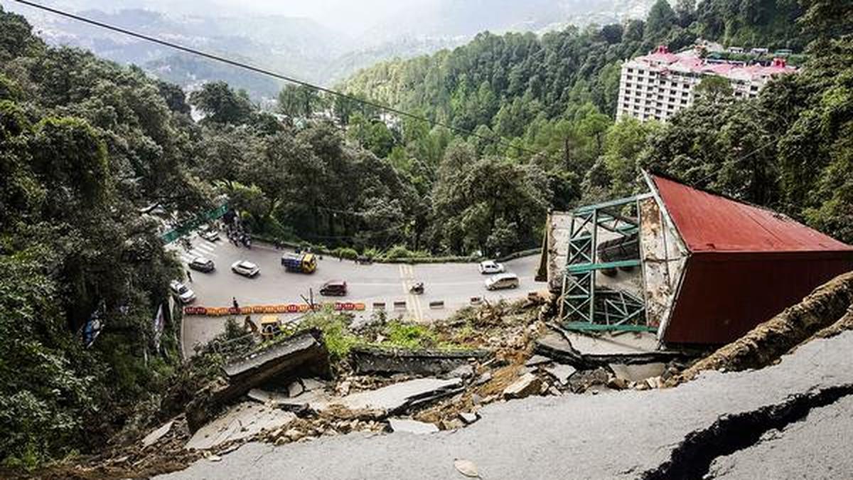
The recent landslides in Wayanad put such a dangerous mix of factors on full display.
Taken together, vulnerability is a combination of poverty and high population density with poor infrastructure in some places and wealth and unsafe development in others. Insurance coverage and/or policies could also be creating a moral hazard by incentivising people to increase their exposure to climate risks.
Ineffective translation
India continues to invest heavily in climate research, forecasts, and climate services. Climate services translate forecasts into support for decision-making in agriculture, water and energy resources, healthcare, transportation, and other sectors. But the uptake of this information has been remarkably low because it’s either not as location- or sector-specific as it needs to be or there aren’t enough people with the right skills to use it.
Academia and many private ventures continue to push the limits of translating the IMD’s forecasts into hyperlocal scales and to improve the skills to deliver value-added products for users. Even when specific products are generated at the scales and skill-levels required, operationalising them or providing them in a timely and routine manner remains a major hurdle. Two examples illustrate this problem.

(i) Irrigation advisories: Weather forecasts frequently are translated to farm-scale information to manage irrigation from days 1 to 5 and water arrangement information for up to 14 days. Experts combine farmers’ inputs on their irrigation practices with data of soil properties, crop types, water requirements, and crop stress so that rainfall forecasts can inform decisions about whether there is sufficient water for irrigation and what the schedule should be.
The author was a part of one such decision-support tool developed for grape farmers in Nashik district.
The co-development of this solution with farmers showed that in both kharif and rabi seasons, up to 30% of water can be saved without any loss in crop yield.
Now, large-scale operationalisation is required: farmers need to use this tool to document the usefulness and usability of irrigation advisories over a few years, so that the tool can be improved. This is planned in the form of an app where farmers can access data and provide continuous feedback to the researchers. The researchers can use this feedback to update the tool for other regions and other crops.
But engaging farmers in large numbers and developing the app requires the involvement of local governments, NGOs, and farmers organisations or cooperatives. One can see this as the purview of extension agencies that — if they exist — could translate research into daily, weekly, and seasonal agricultural operations.
Yet such bodies don’t exist nor are we educating/training people to staff them. We also lack the funding structures required to set up research-to-operation programmes. At the same time there is an unmet need to support poorer farmers with the soil moisture and crop data they need to plan irrigation. Without these systems and skills, any plan to double farmers’ incomes or ensure a minimum income for them will be impossible.
(ii) Urban flood predictions: We need to downscale predictions of heavy rainfall for the street-level in cities for flood control. At present, municipalities are achieving this with inputs from municipal sensors and data from its weather stations.
However, the ideal situation looks like the following: flood managers will have to evaluate forecases for a few seasons to ensure a downscaled forecast is actionable, and subsequently plan the allocation and operation of drainage pumps, traffic control units, bus/train routes, school closures, etc.
In this example, the flood managers need to be trusted employees of a government, an NGO or a private entity that tracks forecasts and their systematic biases as well as human actions that exacerbate water-logging.
Again, neither an academic setup nor the structure of urban governments allows us to translate downscaled forecasts to urban flood management and flood risk mitigation completely.
From research to operations
Climate research is currently too siloised for it to inform operations within a reasonable timeframe. Its goals were once research papers and PhDs, but now it needs to meet people’s needs by bringing science to society. Governments and disaster management agencies are depending on it. We clearly need sector-specific extension agents as described above to bridge the research and the administrative enterprises. These agents will serve as links to co-develop effective solutions to make India weather-ready.

In fact, weather-readiness and climate-resilience have to be hyperlocal since the nation will only be as ready and resilient as the weakest link. This requires sustained financing of the research-to-operations systems required at each location and in each sector.
We also need to pay serious attention to capacity-building, i.e. to train sector-specific extension agents who can communicate in local languages and manage the effects of cultural idiosyncrasies on disaster management and risk mitigation.
If this seems like an onerous task, remember that it’s also necessary — to ensure India’s development is sustainable and confers safety and security for all, including from the effects of climate change.
Raghu Murtugudde is a professor, IIT Bombay, and emeritus professor, University of Maryland.
Images are for reference only.Images and contents gathered automatic from google or 3rd party sources.All rights on the images and contents are with their original owners.
Comments are closed.